
Sources for Oswego Neighbors
A block lookup works only when the source is matched to the claim. Kendall GIS shows parcel geometry. The township and county tax systems identify recorded property interests. Village records may identify a permit contact or public civic role. Voter access confirms one person's registration through personal fields, not everyone near an address.
| Local source | What it reveals around a block | How to reach it |
|---|---|---|
| Kendall County GIS | Parcel shapes, adjoining lots, layers, map context, some document links | Free public map viewer |
| Oswego Township Assessor | Owner, situs, mailing address, subdivision, legal description, class | Free address, owner, PIN, and sales searches |
| Kendall DevNet | Selected tax-year owner, site and mailing data, exemptions, sales | Free county tax inquiry |
| Village neighborhood inventory | Official subdivision, watch, and business-corridor names | Public police assigned-officer page |
| Village records | Known-address permits, projects, reports, and public meeting references | Targeted FOIA request, subject to redaction |
These records describe parcels, filings, or public roles. They do not disclose a complete household. A trust or company may own a home, an owner may receive mail elsewhere, and a person living there may never appear on the parcel card.
Map an Oswego Block Outward
Begin with one exact site address in the Kendall County GIS viewer. The autosuggest can find a site address, and a PIN works with or without hyphens. Click the target shape, then inspect the parcels that touch its sides and rear. Overlapping parcel shapes can be separated with the selection tool and paged through.
- Record the target parcel's PIN, site address, subdivision, and map-layer date.
- Select each adjoining parcel. Treat condo units, common areas, outlots, and rights of way as separate mapped interests.
- Open the corresponding assessor and tax cards by PIN. Compare site, owner, mailing address, exemption, and tax year.
- Expand only as far as the question requires. For every parcel on a named road, use the Oswego street directory workflow.
The process is address to parcel, parcel to adjoining shapes, PIN to owner record, then dated confirmation. It builds a small radius without assuming that a nearby owner is a nearby occupant.
Measure Nearby Oswego Parcels
Kendall County's public-notification tool adds a controlled radius to the map method. It can begin with a selected parcel or a dragged area, apply a distance and units, and create PDF or CSV output. The result is useful for project notice research and civic curiosity because it replaces visual guessing with a defined map operation.
Read the export as a parcel list, not a list of Oswego neighbors who live nearby. A single building may contain many parcel units. Common land can add a non-household row. The listed mailing contact may be a company, association, trustee, or government office.
Note: Keep the chosen distance, unit, map date, and source layer with any exported parcel list so the search can be repeated.
Use PINs for Oswego Neighbors
Street numbers are labels for delivery and location. A PIN identifies the mapped tax unit. That difference matters on blocks with condominiums, newly divided land, municipal parcels, or shared space. The Oswego Township Assessor sample at 100 Parkers Mill shows how one valid PIN can carry an exempt class, zero current assessment lines, a demolished former building, and an earlier sale.
- PIN
- The parcel identification number used to join map, assessment, and tax records.
- Situs
- The physical parcel address, which can differ from the owner's mailing address.
- Owner
- The recorded property interest shown for the effective record year, not proof of occupancy.
- Adjacent parcel
- A mapped tax unit touching or falling within the selected block or radius.
Write the effective year beside an owner name. The Kendall DevNet selector observed tax years from 2007 through 2025, while GIS layers can represent a different update. PIN-based matching reduces errors, but it does not erase date differences.
Name the Oswego Neighborhood
The Village's assigned-officer inventory supplies a valuable geography vocabulary. It names Original Town, downtown, many subdivisions and homeowners associations, neighborhood-watch areas, and the Route 34, Route 30, and Route 71 business corridors. Use the official label with a street name when searching tax records, GIS layers, newspapers, meeting packets, or a focused Village request.
| Community route | Public value | Important limit |
|---|---|---|
| Village neighborhood/watch inventory | Official area names and assigned police contacts | Not a private member or resident roster |
| Oswego Area Chamber of Commerce | Public business members and civic contacts | Business affiliation does not prove residence |
| Village boards and commissions | Named public participants in rosters and packets | Shows a civic role, not a household |
| Little White School Museum | Local-history context, photos, maps, family material | Historical evidence needs a date and citation |
The names help organize an Oswego neighbors search even where an association keeps its roster private. They also prevent a loose postal label from being mistaken for a municipal or subdivision boundary.
Find Public Oswego Connections
Public community directories can show a person's stated business or civic connection. They should be used for that limited purpose. The Oswego Area Chamber member directory is one successful page-specific capture.
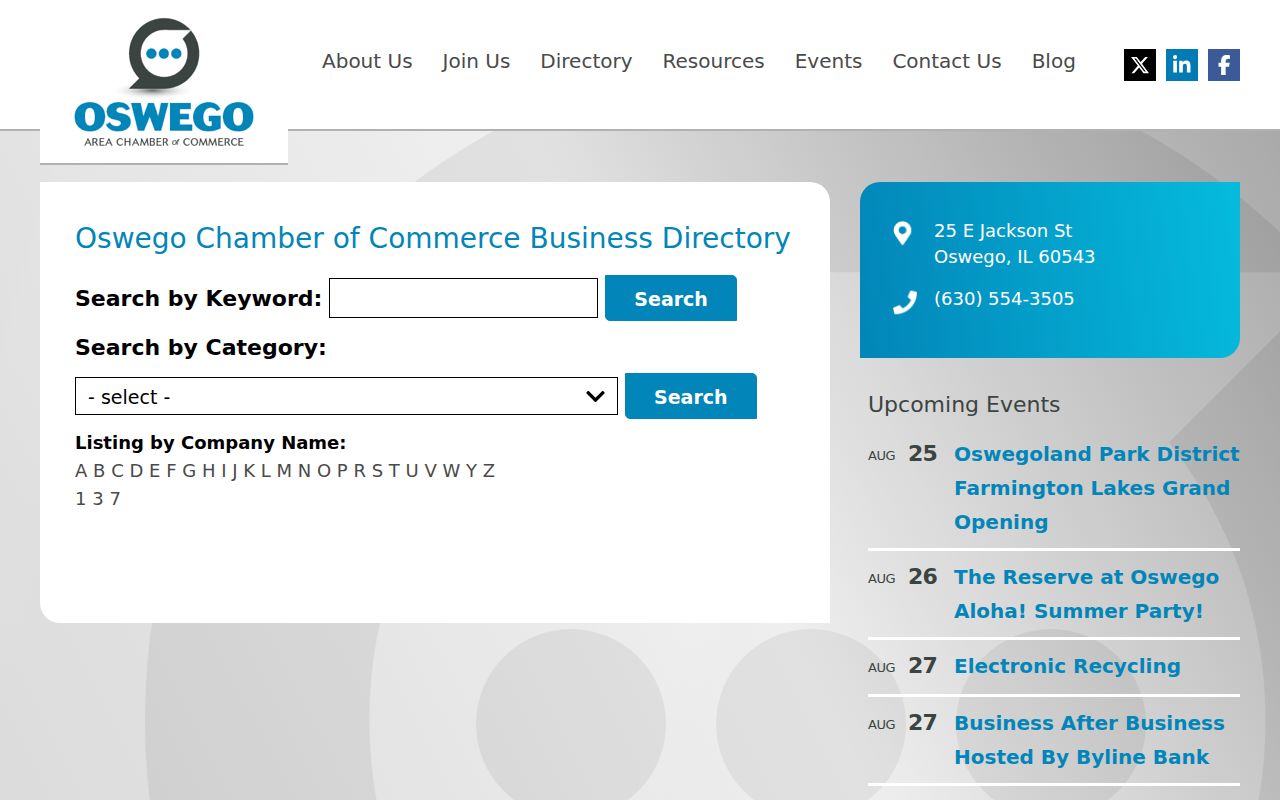
The entries are business memberships, not proof that the named contact lives on the block. Village board rosters and meeting packets work the same way: they establish a public role on a date.
For family and local-history questions, the Little White School Museum, Oswego Public Library, Kendall County Historical Society, and Oswegoland Heritage Association add newspapers, photographs, maps, yearbooks, and donated family material. Licensed library databases may require an in-person visit. Private congregational and club rosters remain private unless the organization chooses to publish them.
Request Oswego Block Records
A known address can support a narrow Village FOIA request for a permit, inspection, certificate, ordinance case, project file, accident report, or meeting item. The Village Clerk keeps ordinances, resolutions, minutes, project files, legal documents, and FOIA administration. There is no public all-residents database and no searchable public permit-case index.
Ask for one record type, a street address, and a date range. Permit forms can contain owner/customer, project address, subdivision or lot, contact, contractor, project type, cost, and status. A named applicant may be a professional working at the site, not one of the Oswego neighbors.
The crash and crime map is updated weekly and displays approximate geography, reporting date, and event category. It withholds personal data and sensitive offenses and discourages exact-address derivation. Use it as broad public-safety context, never as evidence about a household.
Oswego Names Beyond the Block
Some searches for former Oswego neighbors shift from a present block to a family or memorial connection. The Oswego Township cemetery search offers tabs for Oswego Main Street, Pearce, and Cowdrey cemeteries.
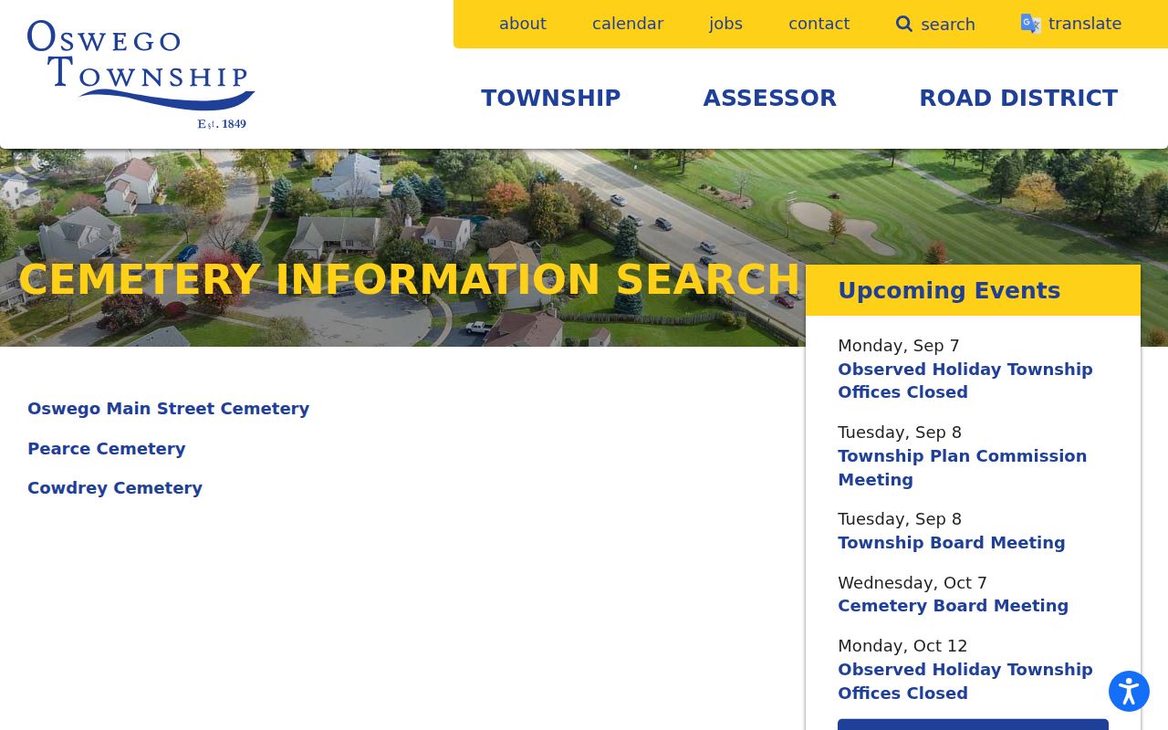
An interment can connect a name, date, and family grouping to Oswego history. It does not establish a former home address by itself. Pair it with a dated obituary, newspaper notice, directory entry, census record, or deed before connecting the person to a block.
This is a humane use of the local record trail: reconnecting family lines, identifying a former neighbor in a memorial notice, or adding context to neighborhood history. Preserve uncertainty when the name is common.
Compare Oswego Neighbor Sources
Official records and commercial neighbor tools solve different problems. A custodian record is narrow, dated, and tied to a legal function. A commercial tool may blend names, phones, addresses, and relatives from unclear dates. Breadth can look useful while hiding false matches and old data.
| Source type | Strength | Weakness |
|---|---|---|
| Official parcel or tax roll | Keeper, PIN, effective year, defined fields | Owner does not equal occupant |
| Official GIS | Clear parcel geometry and map layers | Not a survey or household list |
| Public civic directory | Directly stated public role or membership | Does not prove home location |
| Commercial compiled tool | May gather broad leads quickly | Dates and sources may be unclear or wrong |
For Oswego neighbors, use a compiled result only as a lead. Confirm a parcel through the local assessor, a filing through its office, and a public membership through the organization that publishes it.
Privacy for Oswego Neighbors
Illinois does not turn a block into an open voter roster. Kendall County's lookup asks for personal fields to verify one voter and polling information. Election Code restrictions govern voter data, and the public form has no block export. Utility customers, delivery data, private association rosters, renters, and household members are not a public neighborhood directory.
The Illinois Address Confidentiality Program can protect an eligible participant's displayed voter address. It cannot promise that older deeds or parcel records already on file will disappear. A missing address may reflect protection, redaction, timing, or a source boundary. It is not proof about where someone lives.
Lawful use. Research Oswego neighbors for civic knowledge, family history, reconnection, or personal safety. Never watch, intimidate, stalk, harass, or harm another person.
The safest block record uses modest labels: parcel owner, mailing contact, permit applicant, voter confirmation, civic member, or historical entry. Those terms state exactly what the record proves and leave private household facts private.